
Tuzla Outdoors – a digital platform dedicated to promoting outdoor activities, natural values, and opportunities for active recreation in the Tuzla area.

UG “Tuzla Trail” is developing the Tuzla Outdoors project – a digital platform dedicated to promoting outdoor activities, natural values, and opportunities for active recreation in the Tuzla area. The establishment of the platform was financially supported by the Tourist Board of the City of Tuzla, recognizing the importance of developing digital content that promotes nature, recreation, and outdoor activities.
Tuzla Outdoors – Web Portal
Tuzla Outdoors serves as a central platform for information about opportunities for active outdoor experiences. The portal brings together content related to hiking, trail running, and cycling routes, viewpoints, natural locations, recreational areas, and other destinations of interest for outdoor enthusiasts. Users can access location descriptions, photos, videos, and useful information that help them plan outdoor activities and discover the natural values of Tuzla. The platform has been established as a long-term digital base that will continue to grow through the addition of new content, locations, and multimedia materials, with the aim of creating a valuable digital guide for users of all generations.
Interactive Map
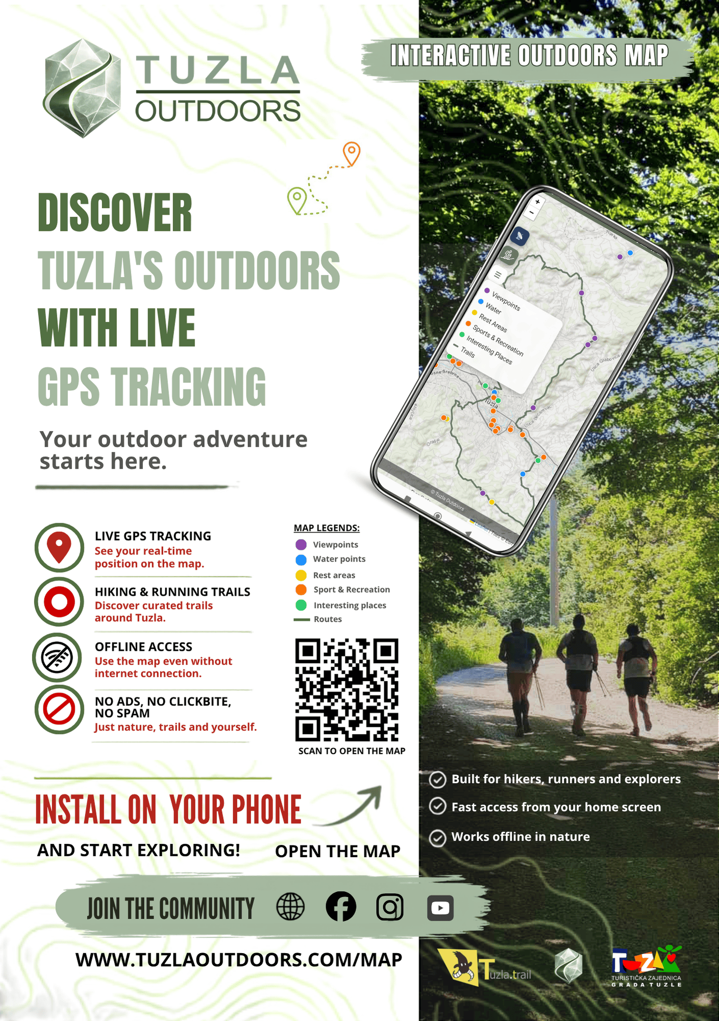
A special part of the platform is the Tuzla Outdoors Interactive Map, developed as a practical tool for exploring, planning, and navigating safely in nature.
The map brings together various outdoor resources, including hiking, trail running, and cycling routes, viewpoints, drinking water sources, rest areas, sports and recreational locations, natural attractions, and other points of interest.
Each trail includes detailed technical information such as distance, total elevation gain, difficulty category, elevation profile, 3D route visualization, and the option to download GPX files for use with GPS devices and mobile applications.
The trails are presented in a way that allows them to be used by different groups of outdoor enthusiasts – hikers, trail runners, and mountain bikers – enabling each user to adapt the route according to their abilities and chosen activity.
The interactive map is optimized for mobile devices, supports GPS navigation, and allows access to content without an internet connection, contributing to safer outdoor experiences and easier navigation in the field.
The development of the platform continues through the addition of new trails, locations, photographs, 360° panoramas, and other content, making Tuzla Outdoors an increasingly comprehensive digital base for exploring nature and outdoor activities in the Tuzla area.
Web portal: https://www.tuzlaoutdoors.com/
Interactive map: https://www.tuzlaoutdoors.com/map/